REPLOGLE GLOBES
From its humble beginnings in a Chicago apartment, Replogle today is the world’s largest manufacturer of globes.
From handcrafted masterpieces in the offices of presidents and dignitaries to classroom models that help students understand their world, our belief in the globe as a source of wonder hasn’t changed.
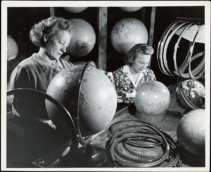
Based in a 55,000 square foot facility outside of Chicago, most of our globes today are still painstakingly hand-made in the USA by artisans who have spent the better part of their lives with the company.
This is indicative to a commitment to quality, doing things the right way and, most importantly, a commitment to the globe itself.
EXPANDING YOUR VIEW OF THE WORLD SINCE 1930
What began with hand-assembled globes sold from a Chicago apartment grew into what you might call a Global Empire.
It is 1930. The 122 million citizens of the Unites States brace themselves for what will become known as the Great Depression.
Undaunted, Luther Replogle and his wife, Elizabeth, begin assembling globes in their Chicago apartment. Luther’s idea – A Globe in Every Home – flies in the face of the dwindling economy, not to mention logic itself. Luther believed that the globe was too valuable, too beautiful to be forever relegated to classroom duty.


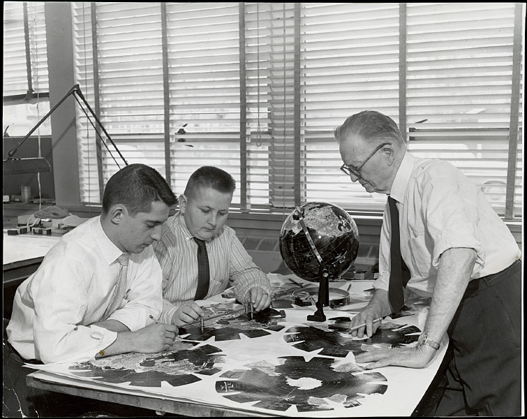
Where he got this idea is anyone’s guess. When Luther wasn’t making sales calls for a school supply company, he spent his time in the Weber Costello plant, watching globe-makers at work, paying particular attention as they pasted hand-cut map gores to molded hemispheres.
Luther’s interest in globes paid off, and in a constantly changing, seemingly shrinking world, his vision is more relevant today than ever. In 1930, Luther thought that a globe might help people make sense of their world. There were floods in the Mississippi River Delta, Fascism on the rise in Europe, and Lindbergh attempting to fly across the Atlantic.
Much was going on. The world was a big stage. It still is…
CONTINUE HERE FOR A MORE IN DEPTH HISTORY OF REPLOGLE GLOBES
A WORD ON CARTOGRAPHY
Replogle Globes takes pride and goes to great lengths to assure we provide you with the most accurate globes possible. The maps on all Replogle Globes show nations, colonies, possessions, boundary lines and place names as approved by the United States Government. Maintenance of the content of these maps requires frequent communication with the U.S. Department of State, The U.S. Board of Geographic Names, and the National Imagery and Mapping Agency.

In addition to the sources mentioned, we communicate with embassies of other nations in Washington D.C. and foreign consulate offices in Chicago, our home base, for help with new changes in boundaries and names. We also use material from official foreign place-name agencies equivalent to our U.S. sources.
In some regions we note political claims by neighboring nations, but the color(and border) is shown in accordance with the regions actual political affiliations or status. Similarly, we also show alternative or former place names in parentheses. This is one way our globes serve the needs of both the serious student and the casual user.


