REPLOGLE GLOBES
From its humble beginnings in a Chicago apartment, Replogle today is the world’s largest manufacturer of globes.
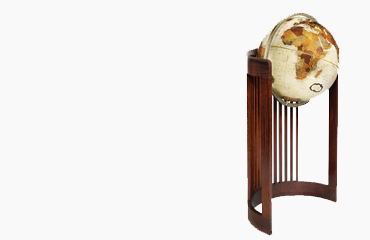
From handcrafted masterpieces in the offices of presidents and dignitaries to classroom models that help students understand their world, our belief in the globe as a source of wonder hasn’t changed.
Based in a 55,000 square foot facility outside of Chicago, most of our globes today are still painstakingly hand-made in the USA by artisans who have spent the better part of their lives with the company.
This is indicative to a commitment to quality, doing things the right way and, most importantly, a commitment to the globe itself.
Global Vision
Replogle’s mission is to deliver globes to an ever broader audience. That was the vision of Luther Replogle in 1930, and it is our mission to this day. We believe that the appeal of the globe is deeper than its value as a learning tool or home accessory.
Luther knew this from the beginning. As a school supply salesman, he took a special interest in globes, believing he could successfully market them to a broader audience. Behind the rallying cry, “A Globe in Every Home,” Replogle facilitated the globes migration from the classroom to the living room, to every home.
EXPANDING YOUR VIEW OF THE WORLD SINCE 1930
What began with hand-assembled globes sold from a Chicago apartment grew into what you might call a Global Empire.
It is 1930. The 122 million citizens of the Unites States brace themselves for what will become known as the Great Depression.
Undaunted, Luther Replogle and his wife, Elizabeth, begin assembling globes in their Chicago apartment. Luther’s idea – A Globe in Every Home – flies in the face of the dwindling economy, not to mention logic itself. Luther believed that the globe was too valuable, too beautiful to be forever relegated to classroom duty.


Where he got this idea is anyone’s guess. When Luther wasn’t making sales calls for a school supply company, he spent his time in the Weber Costello plant, watching globe-makers at work, paying particular attention as they pasted hand-cut map gores to molded hemispheres.
Luther’s interest in globes paid off, and in a constantly changing, seemingly shrinking world, his vision is more relevant today than ever. In 1930, Luther thought that a globe might help people make sense of their world. There were floods in the Mississippi River Delta, Fascism on the rise in Europe, and Lindbergh attempting to fly across the Atlantic.
Much was going on. The world was a big stage. It still is…
CONTINUE HERE FOR A MORE IN DEPTH HISTORY OF REPLOGLE GLOBES
OUR WORLD, OUR RESPONSIBILITY
Replogle Globes has been committed to social responsibility since its inception in 1930.
Today Replogle continues to use eco-conscious practices, material, and product for use in our daily production and business operations.

ECO-FRIENDLY PRODUCTS
All of Replogle’s “press-craft” globes are made from post-consumer reclaimed paper fiber, making over 75% of our total globe output eco-friendly.
product recycling
Recycling is one of the best ways to have a positive impact on the world in which we live. Replogle recycles approximately 340 tons of paper and fiber materials per year.
Lean Manufacturing
Lean manufacturing can yield substantial environmental benefits and allows us to improve the quality of our products without increasing our Carbon Footprint.

MADE IN THE USA
99% of Replogle globes are hand-crafted in America. When you purchase a Replogle Globe, you are helping create jobs and opportunities for local communities.
A WORD ON CARTOGRAPHY
Replogle Globes takes pride and goes to great lengths to assure we provide you with the most accurate globes possible. The maps on all Replogle Globes show nations, colonies, possessions, boundary lines and place names as approved by the United States Government. Maintenance of the content of these maps requires frequent communication with the U.S. Department of State, The U.S. Board of Geographic Names, and the National Imagery and Mapping Agency.

In addition to the sources mentioned, we communicate with embassies of other nations in Washington D.C. and foreign consulate offices in Chicago, our home base, for help with new changes in boundaries and names. We also use material from official foreign place-name agencies equivalent to our U.S. sources.
In some regions we note political claims by neighboring nations, but the color(and border) is shown in accordance with the regions actual political affiliations or status. Similarly, we also show alternative or former place names in parentheses. This is one way our globes serve the needs of both the serious student and the casual user.

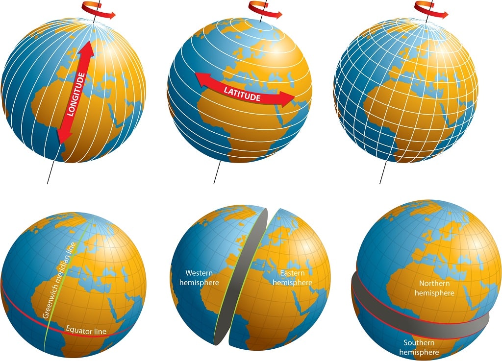

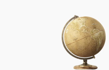
 In order to fully understand what your globe is displaying, it is important to understand the difference between latitude and longitude. While globe lines of latitude indicate how far north or south a given point is from the equator on your globe, globe lines of longitude indicate how far east or west a given point is from the prime meridian.
 Whether you are using a


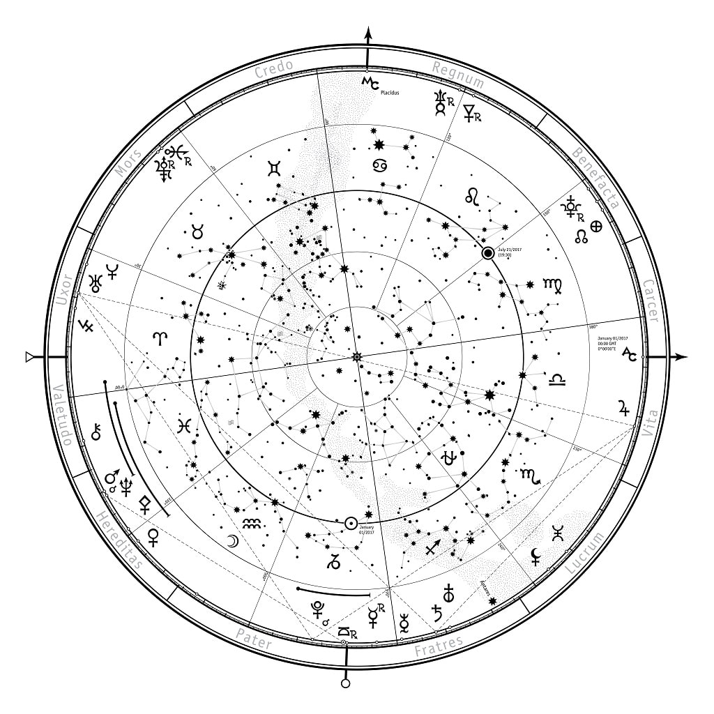
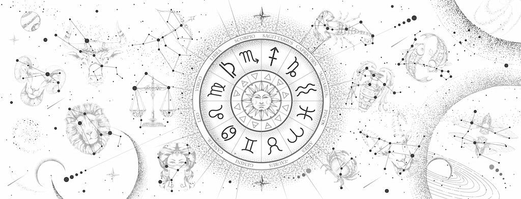 The Ancient Greeks — along with other civilizations of the time — widely believed in a now-iconic phrase: “As Above, So Below.” In other words, the Greeks strongly believed that the workings of the cosmos, the great mystery above us, directly affected our general well-being.
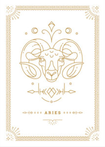 Aries is the Zodiac sign for people born between March 21 (the Spring Equinox) and April 19 and is traditionally considered the start of the Zodiac calendar. The Zodiac symbol for Aries is a Lamb, and Aries (along with Leo and Sagittarius) is regarded as a Fire Sign. Keeping in mind its role at the beginning of the Zodiac calendar, the Lamb (or Ram) symbolizes rebirth and new beginnings. But it also comes from an Ancient Greek Myth — the story of Phrixus and Helle (where Hellenic gets its name) — where the two heroes are eventually saved by a ram with golden wool.
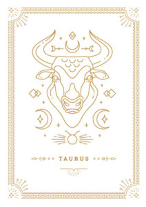 Taurus is the second astrological sign and is the original Zodiac sign of people who are born between April 20 and May 20. Taurus, an earth sign, is represented by a bull and has origins tracing back to many different cultures. The first reference to Taurus was made by the Ancient Mesopotamians (about 4000 BC) who referred to it as “The Great Bull of Heaven.” Taurus also relates to the Greek myth of Europa, which involves the God Zeus taking the form of a bull and “ravaging” his consort, Europa.
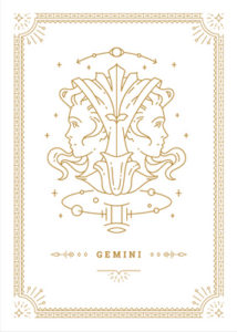 Gemini is the first of the “air” Zodiac signs and is the astrological symbol for people born between May 21 and June 21 (the summer solstice). The symbol for Gemini is the twins, which have traditionally been presented in many different forms. Gemini is another Zodiac sign who can trace its origins to the Babylonian era, where the stars Pollux and Castor were first dubbed to be the “Great Twins in the sky.” In Greek mythology, Pollux is considered to be the son of Zeus — after his friend Castor dies, Pollux asks his father to give him immortality, a request that Zeus obliges.
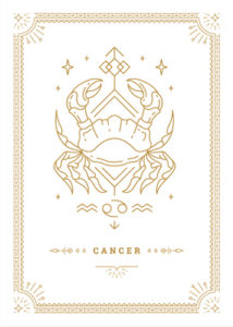 As the first water sign, Cancer completes the first third of the astrological cycle and marks the beginning of summer. Each year, the sun moves through the cancer phase between roughly June 22 and July 22. The horoscope origin for the cancer symbol is traditionally a crab, though there are a few cultures that use either a lobster or a crawfish.
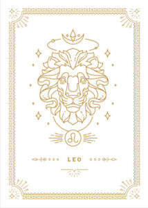 Leo, the second fire sign, is one of the most easily identified original Zodiac signs. Represented by a lion, the Leo sign applies to all people born between July 23 and August 22. The sign is yet another that can trace its mythological origins back to Hercules, one of the most important figures in Greek mythology. According to legend, Hercules was tasked with “12 labors” as a sort of cosmic punishment for going insane and killing his children. The first of these labors was to kill the mythical lion Nemea. Though it ended up on the losing side, Zeus rewarded the lion for being brave by giving it a constellation.
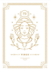 Virgo rounds out the first half of the Zodiac cycle, spanning from 150 to 180 degrees. Virgo is the only Zodiac sign that is represented by a woman, commonly referred to as “the Maiden.” It is the official symbol for people who were born between August 22 and September 23. Traditionally, the celestial maiden that appears in Virgo is considered to be Astraea, a virgin who is representative of justice, innocence, purity, and precision. According to Greek legend, she will one day return to Earth at the beginning of the “Golden Age.”
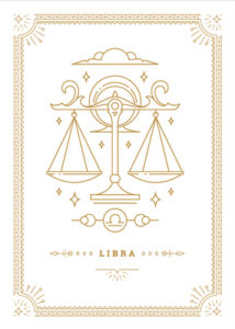 Libra is the seventh astrological phase, which applies to people born between September 23 and October 23. Libra is the second air sign. Its symbol is a scale, which is supposed to represent the Scales of Justice normally held by Themis, the Greek Goddess of Law and Justice. Libra is also strongly associated with both Venus and Astraea, and can frequently be witnessed in depictions at courthouses and similar buildings around the world.
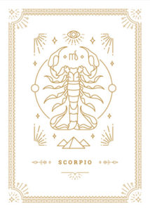 Scorpio, a water sign, completes the second third of the cosmic calendar, occupying the 210 to 240-degree slot. It is represented by a scorpion which, as you might have guessed, is directly named after the constellation itself. In some instances, Scorpio can also be associated with a snake and an eagle — each of these characters is commonly used in mythologies around the world. In Greek mythology, the hunter Orion once boasted of his intent to kill all of the animals in the world, only to eventually be bitten and killed by the scorpion.
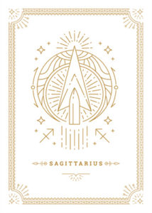 A fire sign, Sagittarius, is generally represented by an archer, an ancient Zodiac sign which often takes the form of the mythological centaur Chiron. The sun transits through the Sagittarius component of the Zodiac from November 22 to December 21 (the winter solstice). Centaurs, which are half-human and half-horse, often play an important role in Greek mythology, but few are more famous or important than Chiron. According to Greek legend, Chiron played a critical role in mentoring Achilles, who — despite his later documented weakness in his ankle — was a hero in the Trojan War.
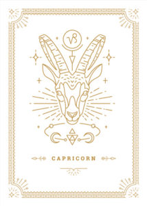 Capricorn is an earth sign, along with being the first of the three winter zodiac signs. Its dates take place from December 22 to January 21. Capricorn, like several other zodiac signs, can trace its origins back to Sumerian Mythology, as well as Babylonian mythology. Capricorn is usually depicted as a goat or, in some interpretations, as a sea goat. The primary inspiration for this goat is Amalthea, who is known for taking the form of a goat and raising Zeus after he was abandoned by his parents.
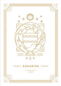 Aquarius is the last of the air signs in the Zodiac cycle, though, perhaps ironically, its symbol is usually the “water bearer.” The calendar dates that apply to Aquarius are roughly January 22 to February 20. The Aquarius legend is inspired by Ganymede, who both humans and the gods alike considered to be the “most beautiful” mortal man. However, eventually, Zeus decided to kidnap Ganymede, where he eventually became a water carrier (cupbearer) upon Mount Olympus. Today, Aquarius is often associated with both wisdom and revolution.
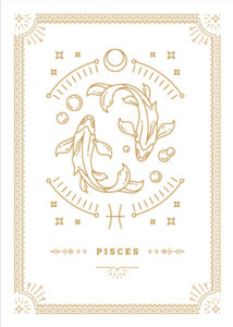 The last — but sign in the Zodiac calendar is Pisces, whose dates typically run from about February 20 to March 20 (there is sometimes a little dispute/overlap between the signs). Pisces is usually depicted as a pair of two fish, each swimming in a different direction. After a gigantic water serpent known as Typhoon (like the storm) began terrorizing the Greek Titans, some of the goods decided to adopt new animal forms and flee. Generally, the fish incorporated in depictions of Pisces are thought to represent Aphrodite and Eros in their fish form.

